


As the clean-up operation continues around the Island after Friday’s storm, we’re being told to expect more of the same tomorrow (Monday).
The Met Office has issued a red warning with more flooding predicted around mid afternoon because of another high tide (2.56pm), a significant storm surge and severe gale force winds with gusts of up to 65 miles per hour.
The areas outlined as the most vulnerable are in Castletown (including Back Hope Street, Hope Street, Milner Terrace, Springfield Terrace, Brewery Wharf and the Promenade); Ramsey (including Ramsey Quayside, the promenades and Parliament Street); Douglas (including the promenade, Tongue, Leigh Terrace, and parts of North Quay, by the British pub); Laxey Promenade; East Quay and Fenella Beach in Peel, Gansey/Shore Road and Port St Mary (including the back of Lime Street and harbour area).
At its peak, forecasters expect the water level to be around 12 inches lower than it was on Friday with damage likely, especially where sea defences have already been breached.
 Historic buses to be celebrated today
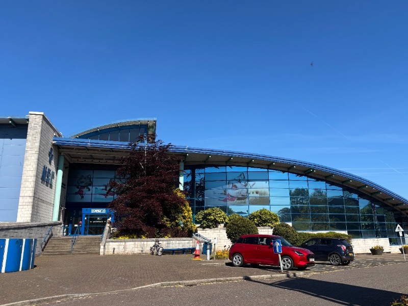 Solar array approved for NSC roof
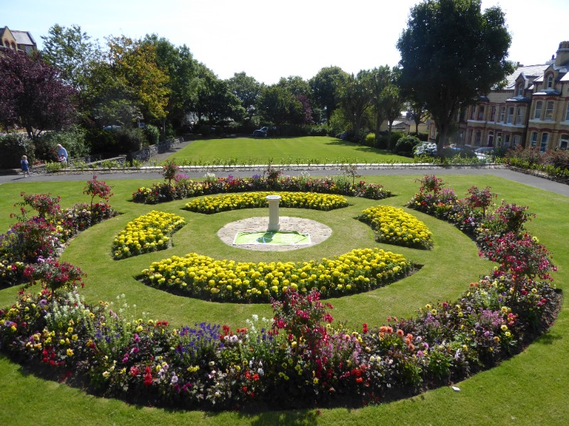 Douglas Council says Green Flag Status is 'something to be proud of'
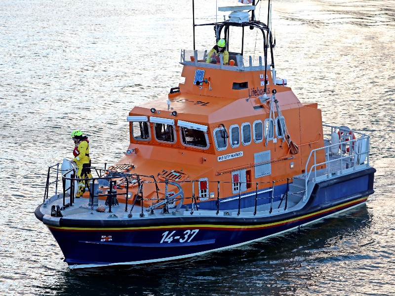 Activities paused at Douglas RNLI as 'precautionary' step